24th June 2016
The Old Man of Hoy
24 June
5 miles on bike, 6 miles walking, 4 miles on Ferry- all sightseeing!
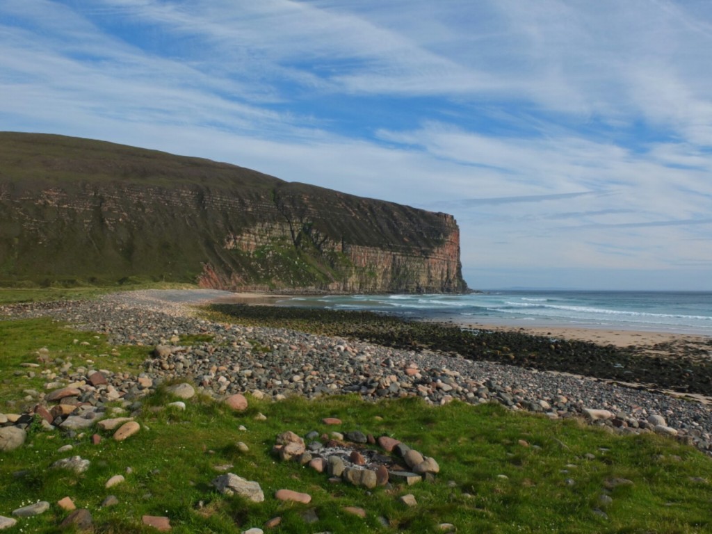
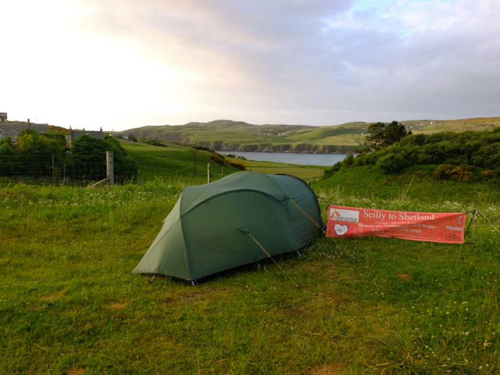
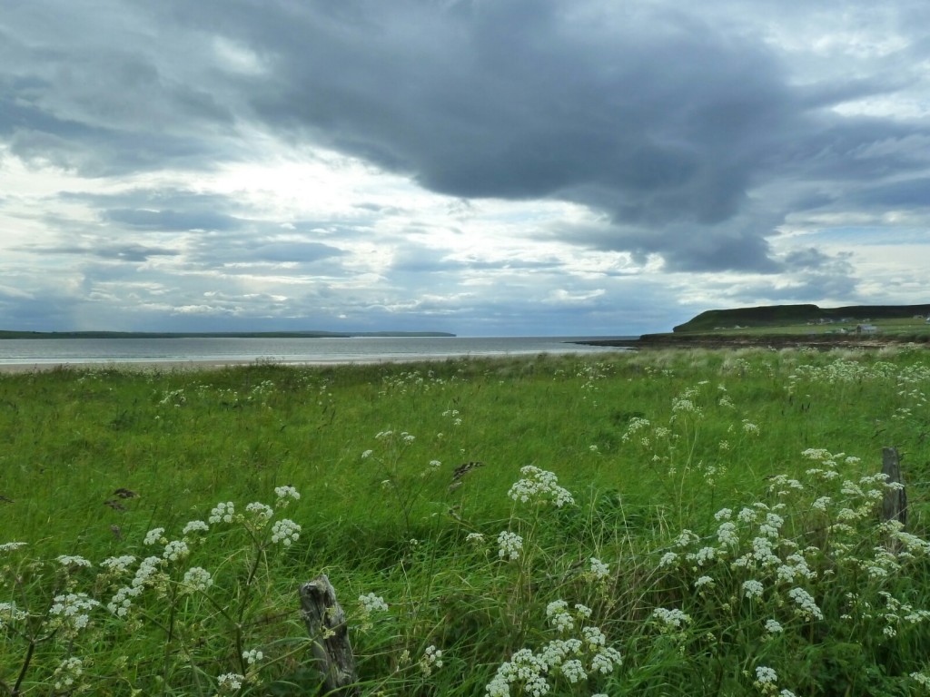
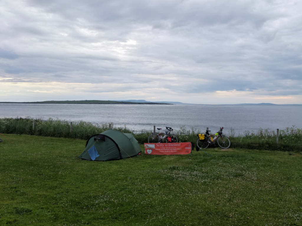
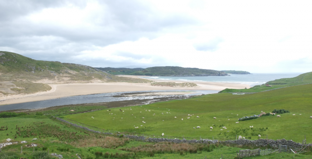
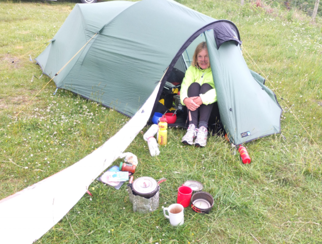
We woke up in the tent on the fantastic beach at Rathwick- We had no mobile signal but Martin was able to get onto the radio to find out the referendum result. We feel this result is going to be a catastrophe for our wonderful people and beautiful country and we have been preoccupied and subdued thinking about it all day. It will certainly change all our futures (and more importantly that of our children and grandchildren). It makes our current project feel somewhat insignificant compared to what awaits the UK as we head over a precipice into unknown waters ahead. The Scots we have talked to today have no doubt that Scottish independence is inevitable- even those that opposed it previously. Tourists from abroad find it hard to understand why this has happened.
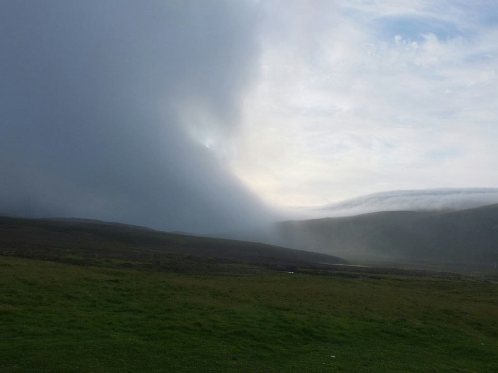
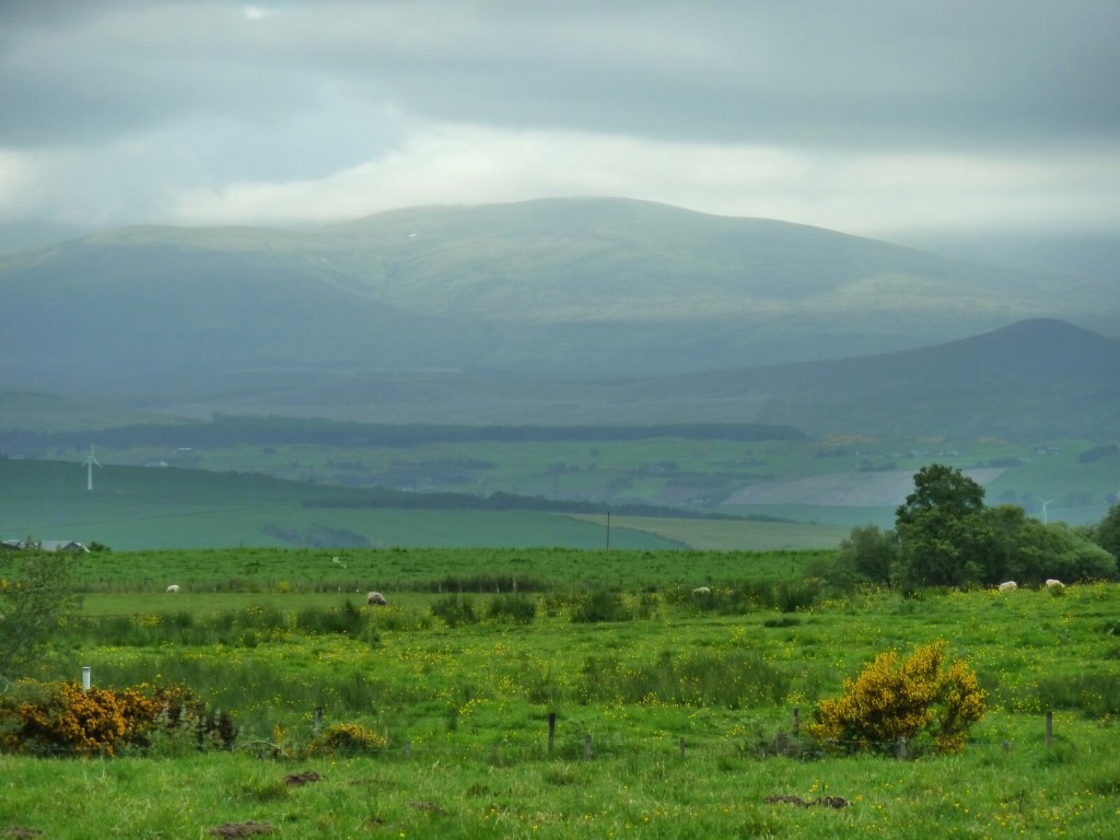
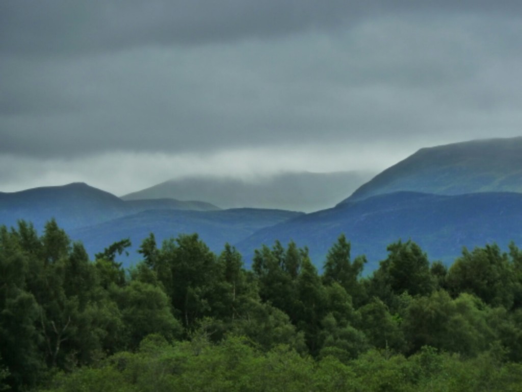
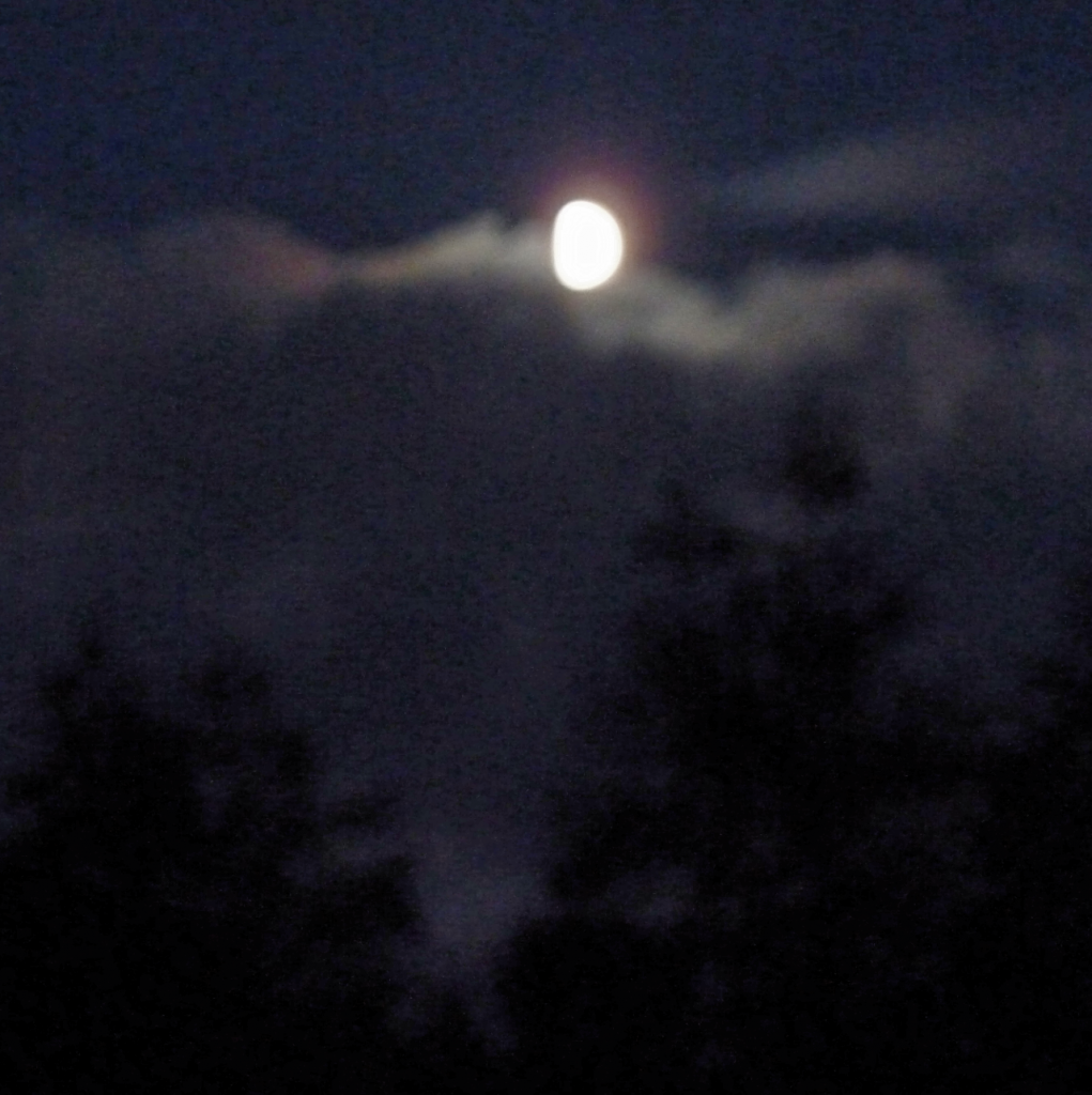
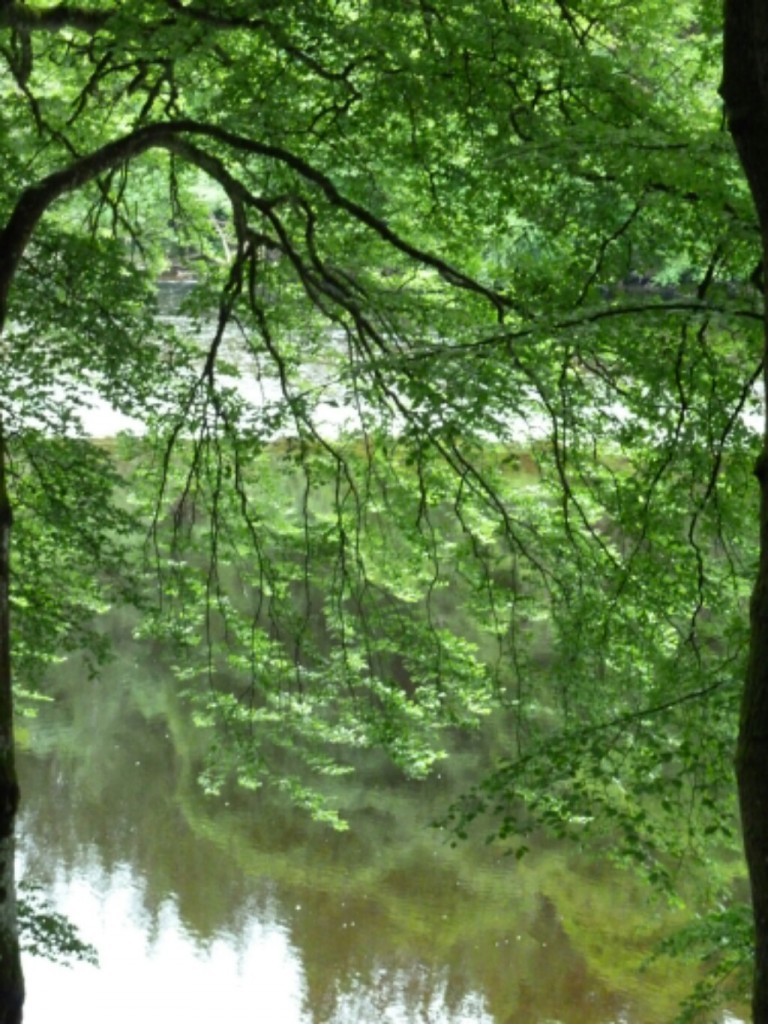
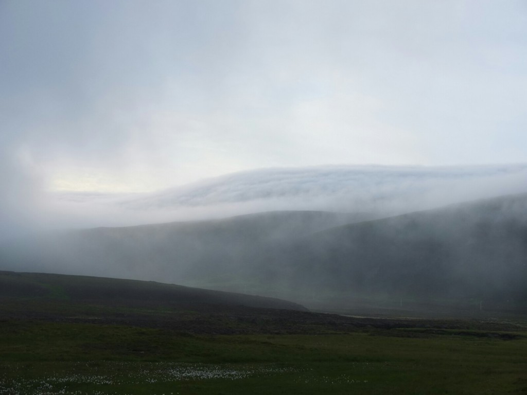
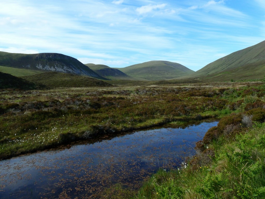
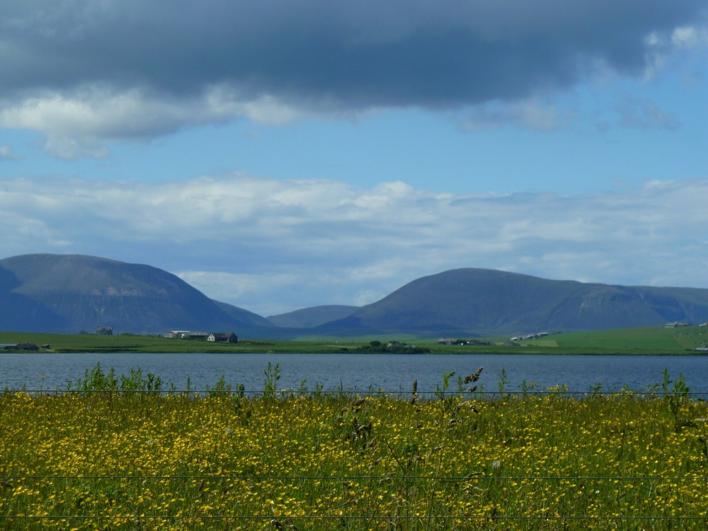
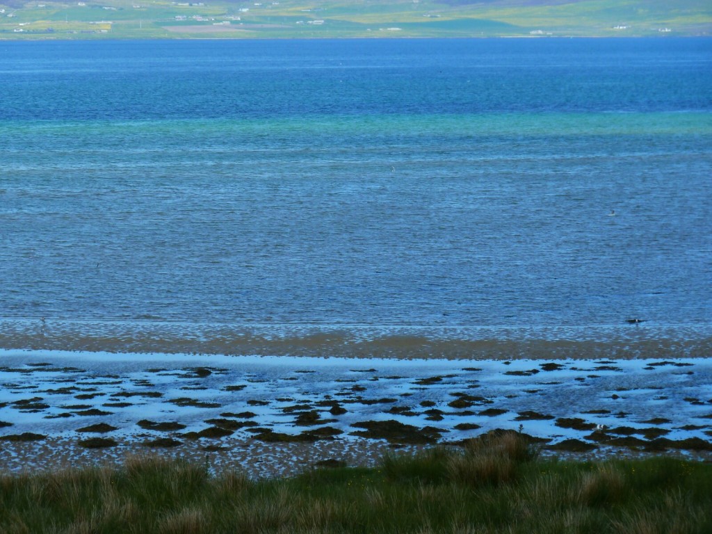
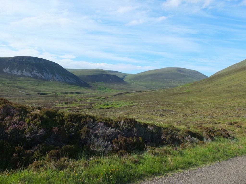
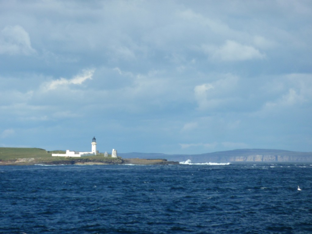
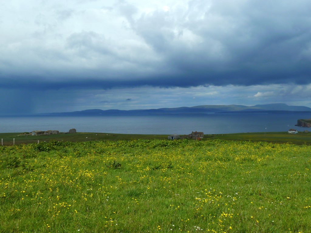
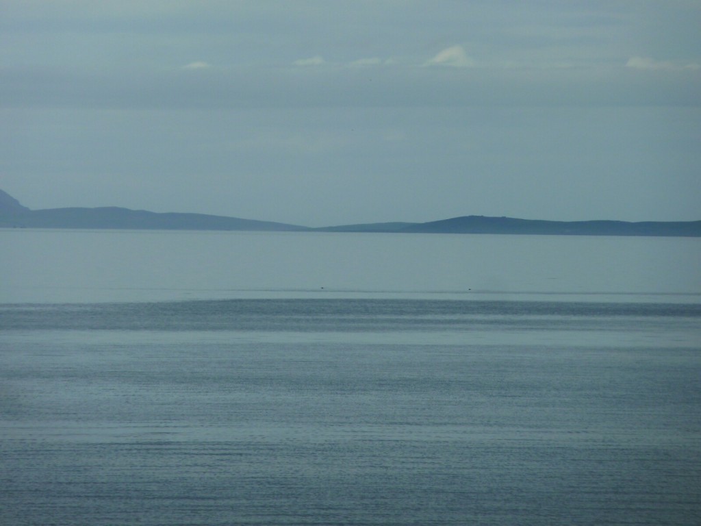
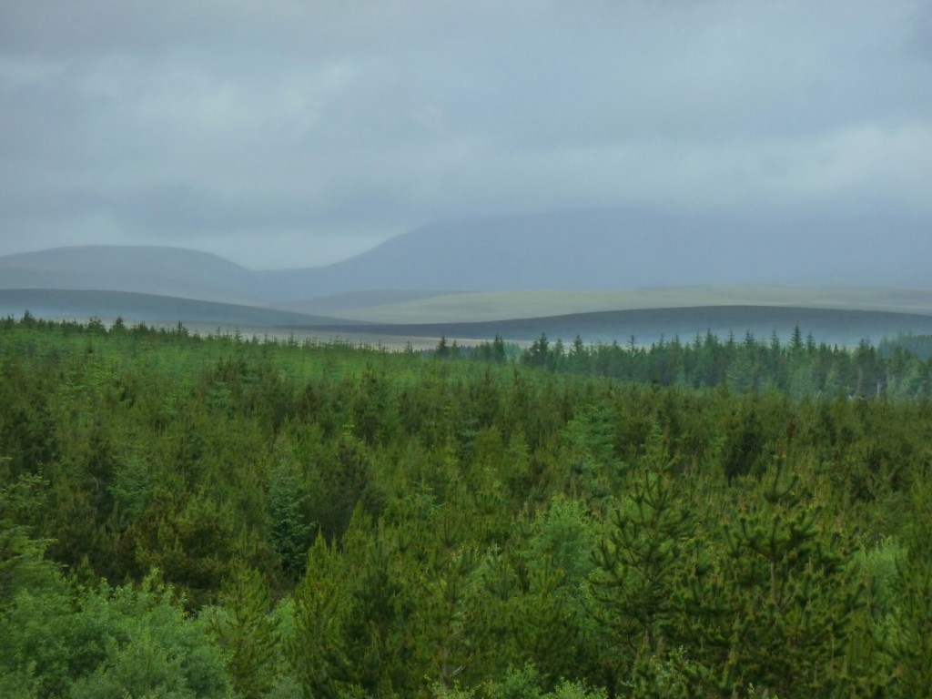
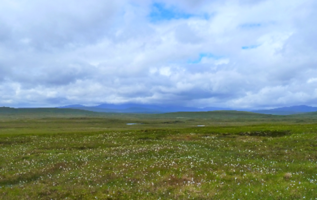
Early morning mist over Hoy
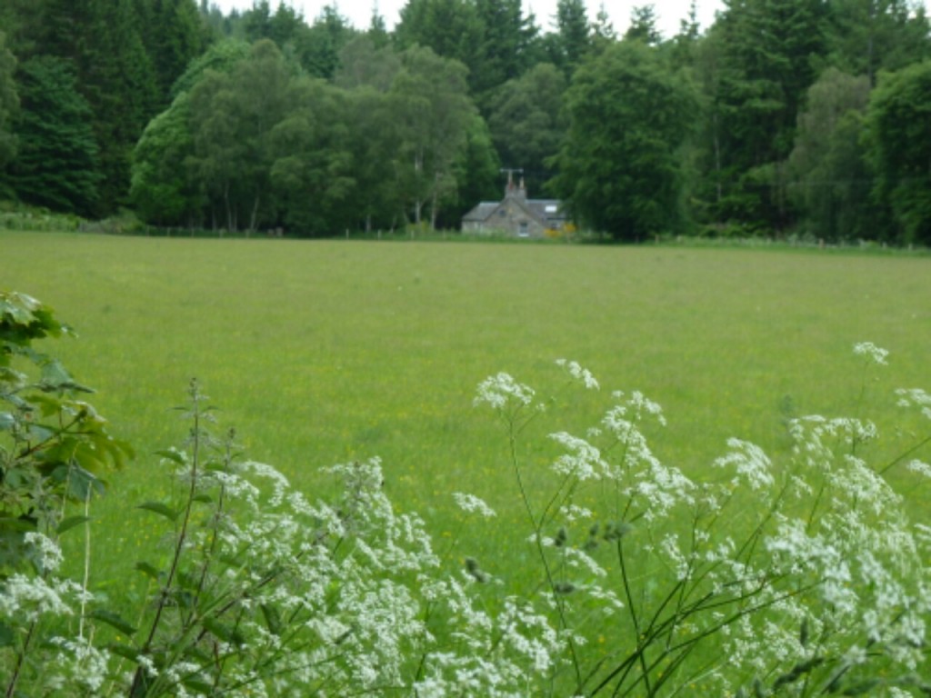
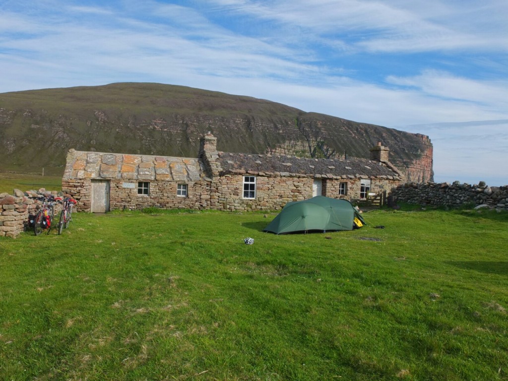
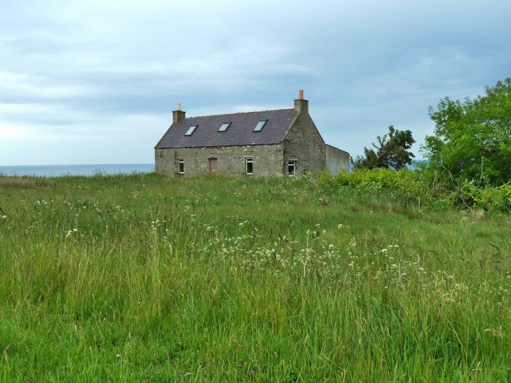
We had to get back up the rough track from the bothy to the road- the gate involved heaving bikes over it without luggage but we were soon on our way walking to the Old Man- past an interesting museum in the old crofts about the local history- Rathwick had a school for both boys and girls as early as 1718 , quite an achievement in such a poor community.
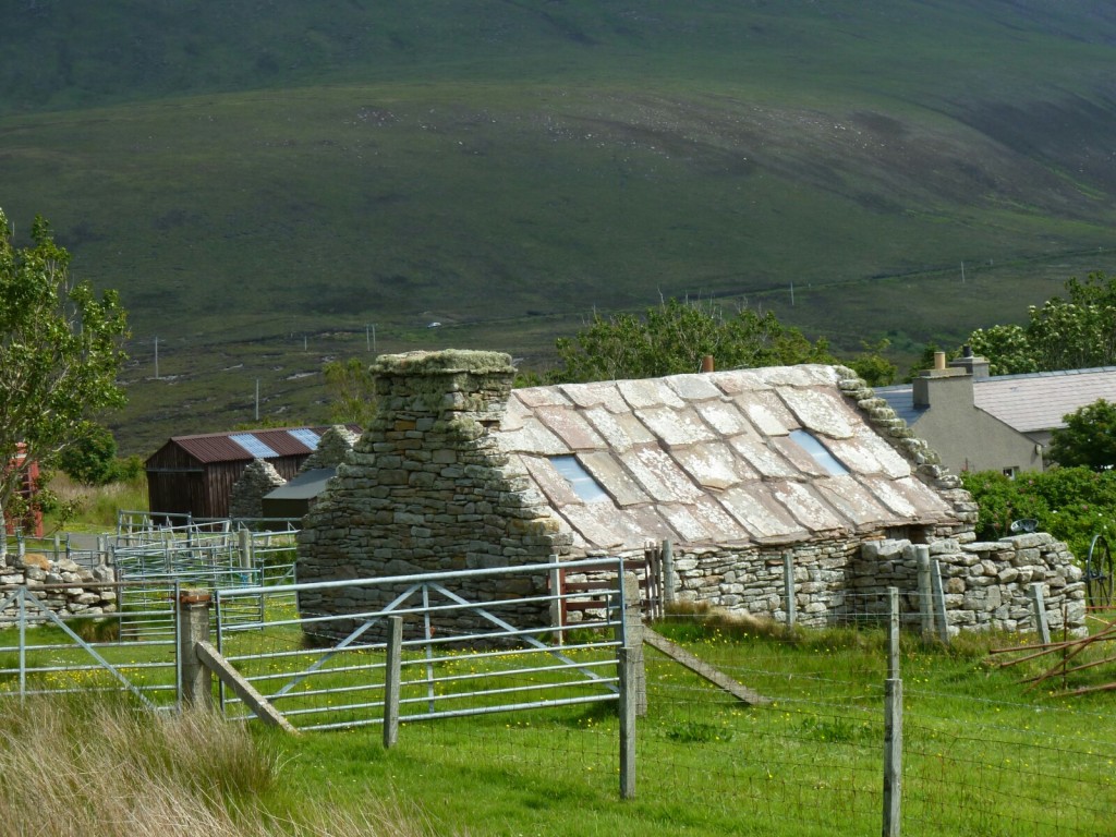
The old school
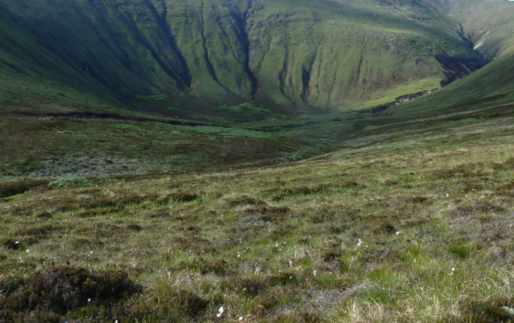
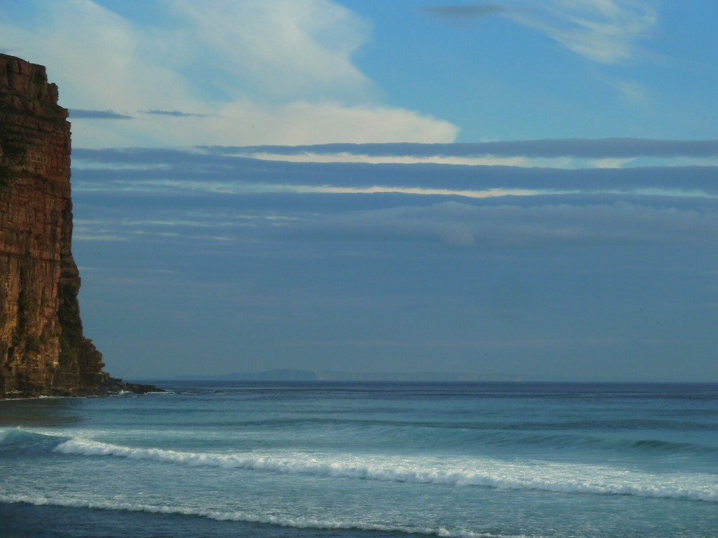
We walked over the headland on a well made track courtesy of the RSPB and arrived at the Old Man- unusually even more spectacular than we had been led to believe. Martin had always had an ambition to climb the iconic classic route up the pillar but having seen it up close the sandstone does not look attractive to climb anyway, also joints mean that pretty much our climbing days are behind us and we will stick to cycling.
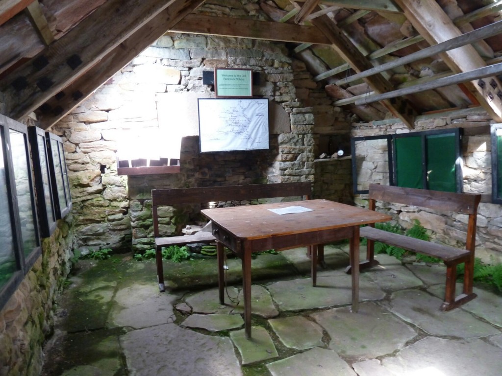
Inside the old school
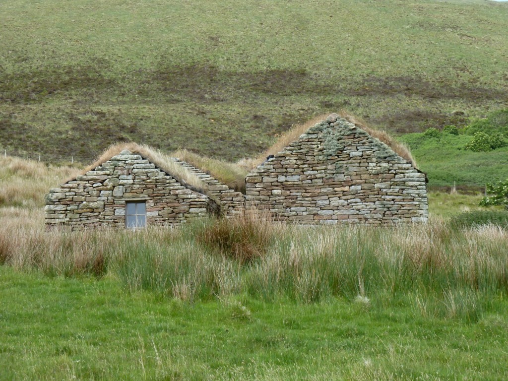
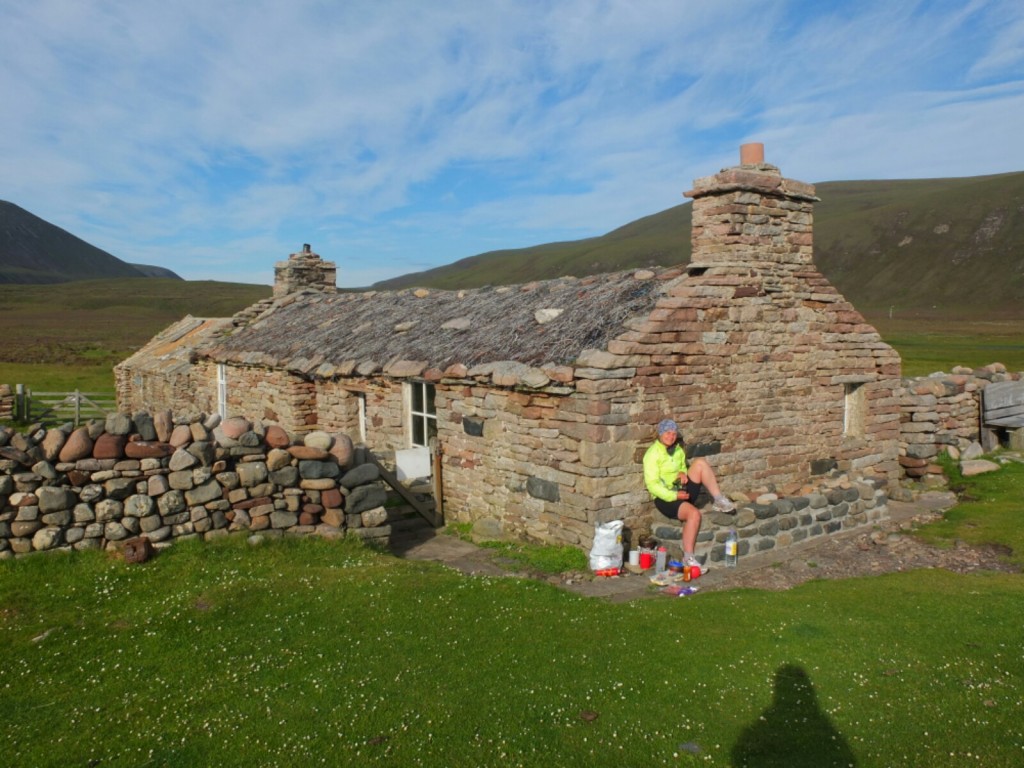
Turf roofed dwelling
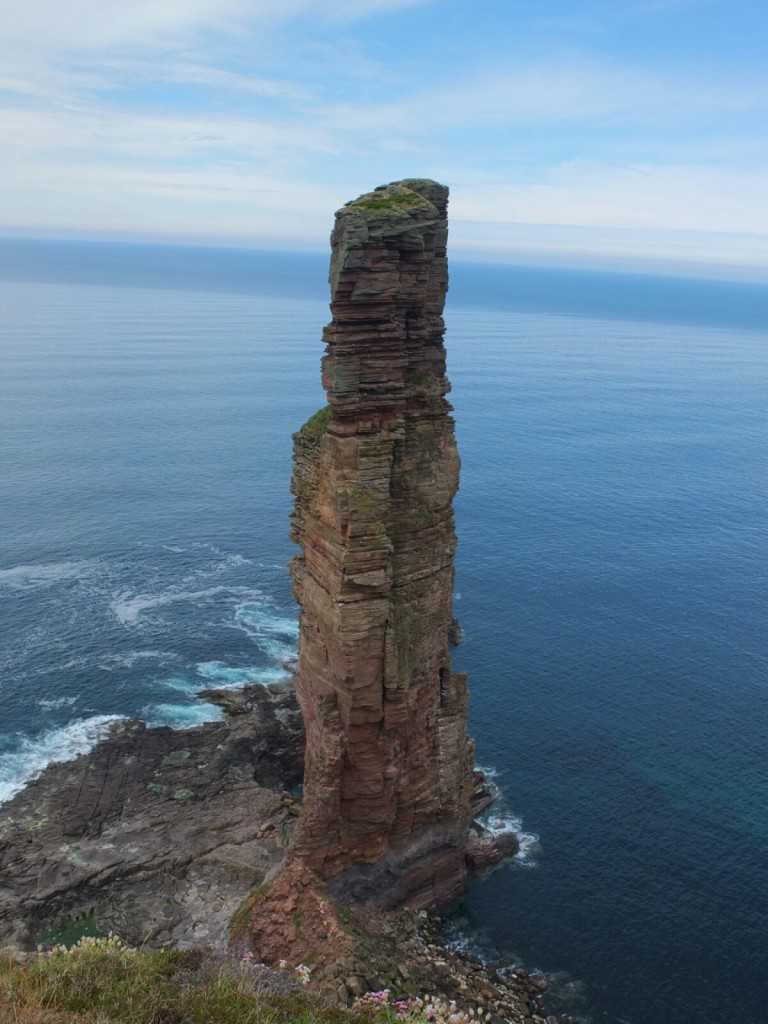
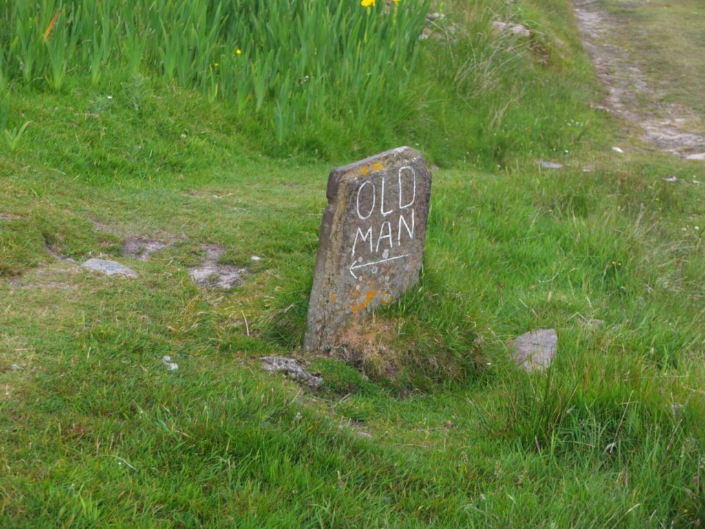
Old Man of Hoy
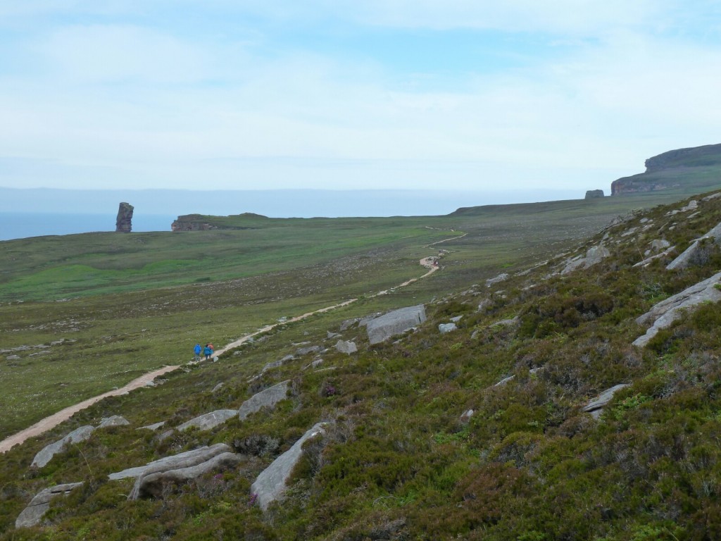
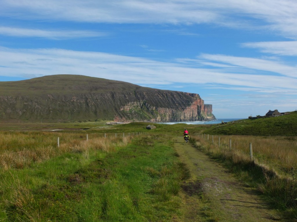
The Old Man sticks up over the skyline as you approach
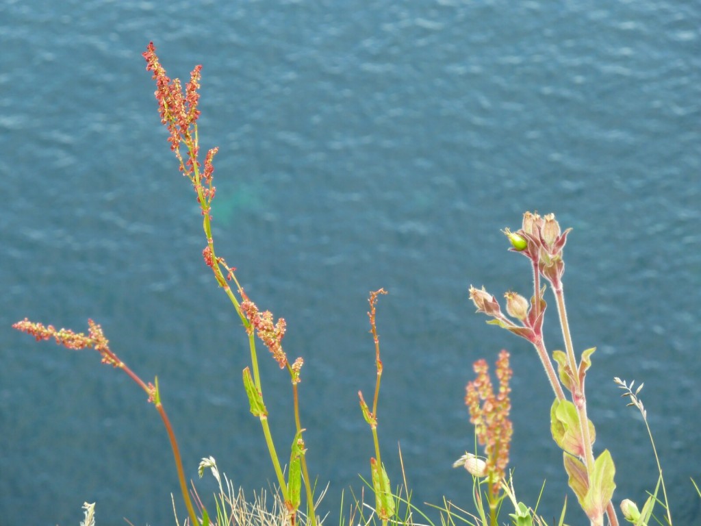
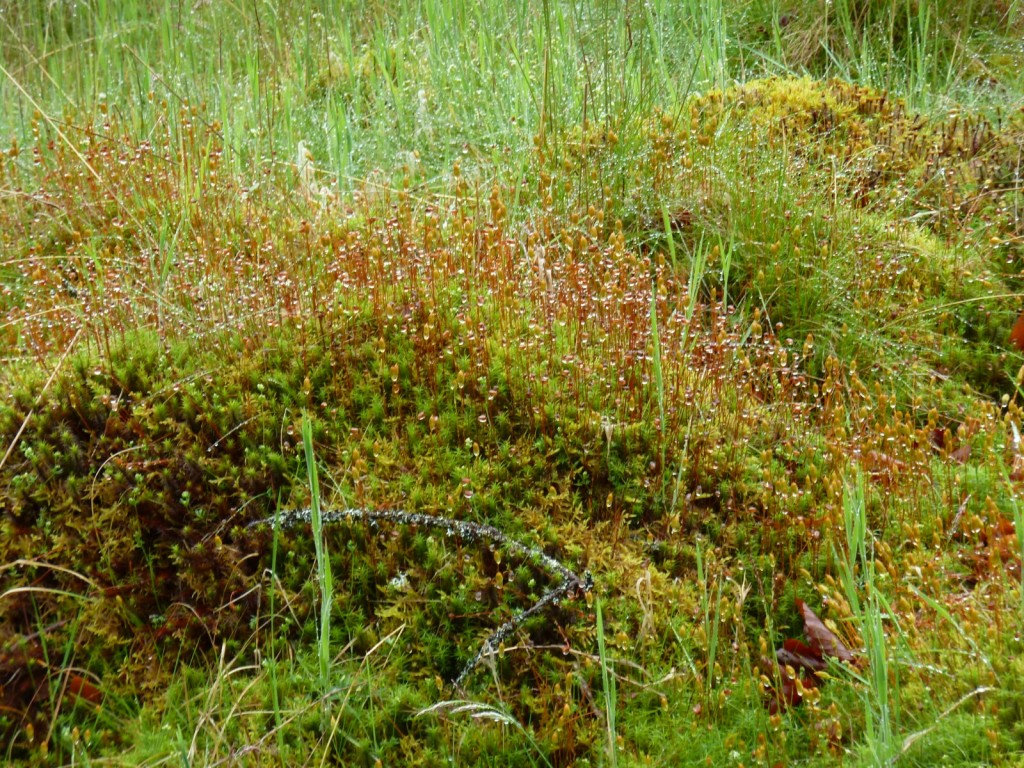
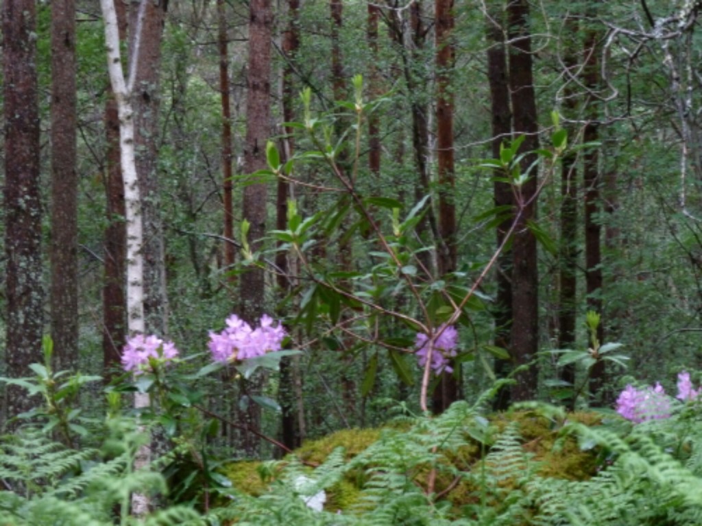
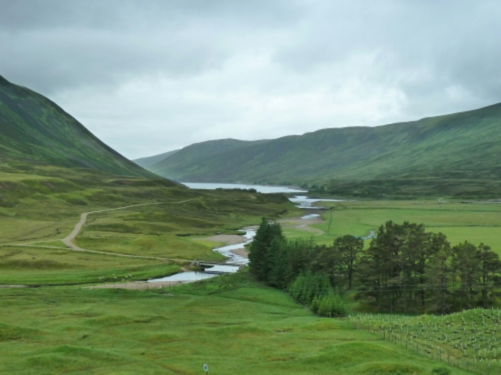
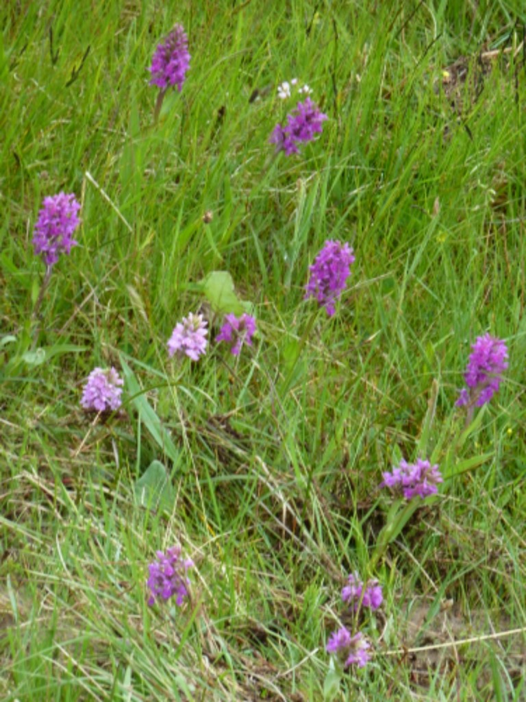
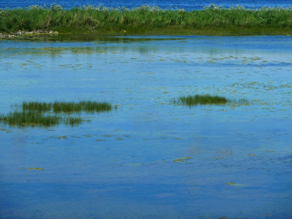
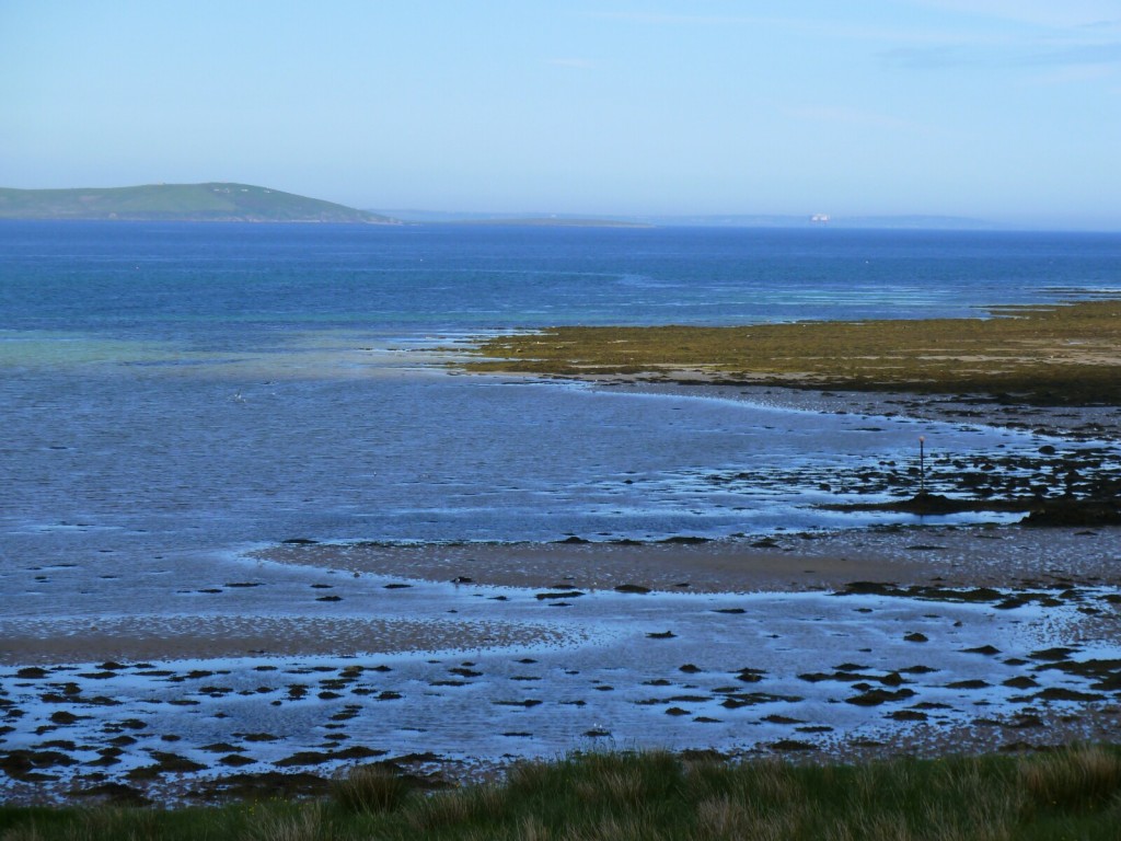
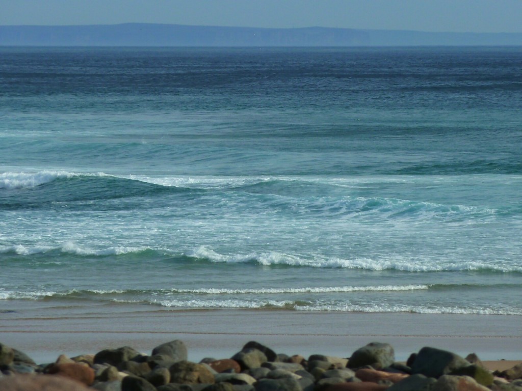
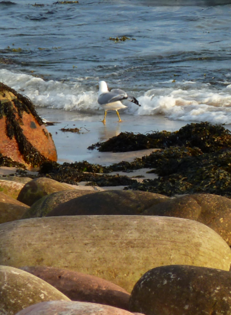
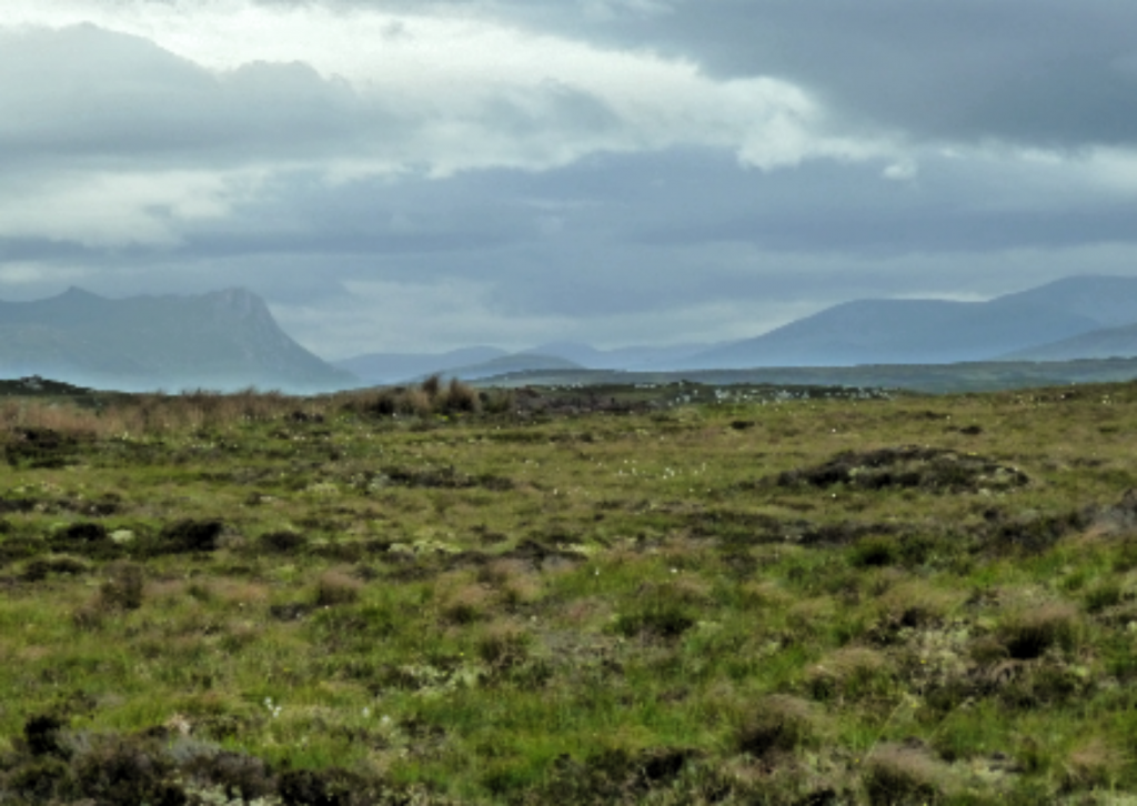
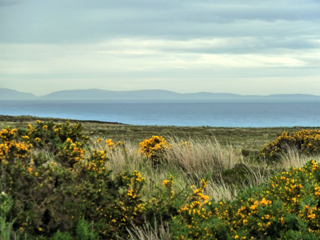
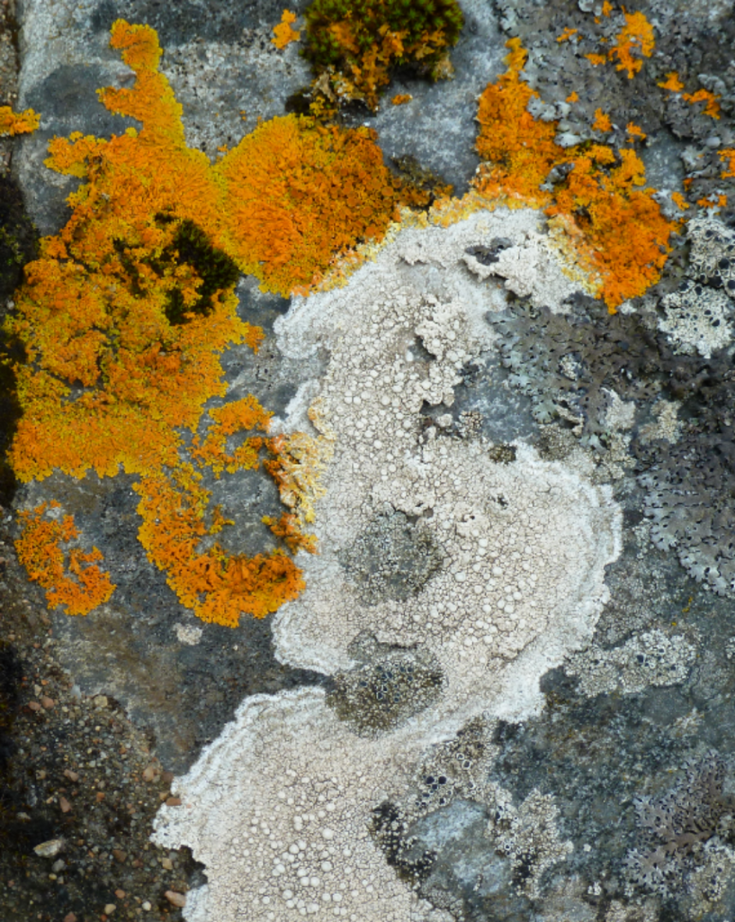
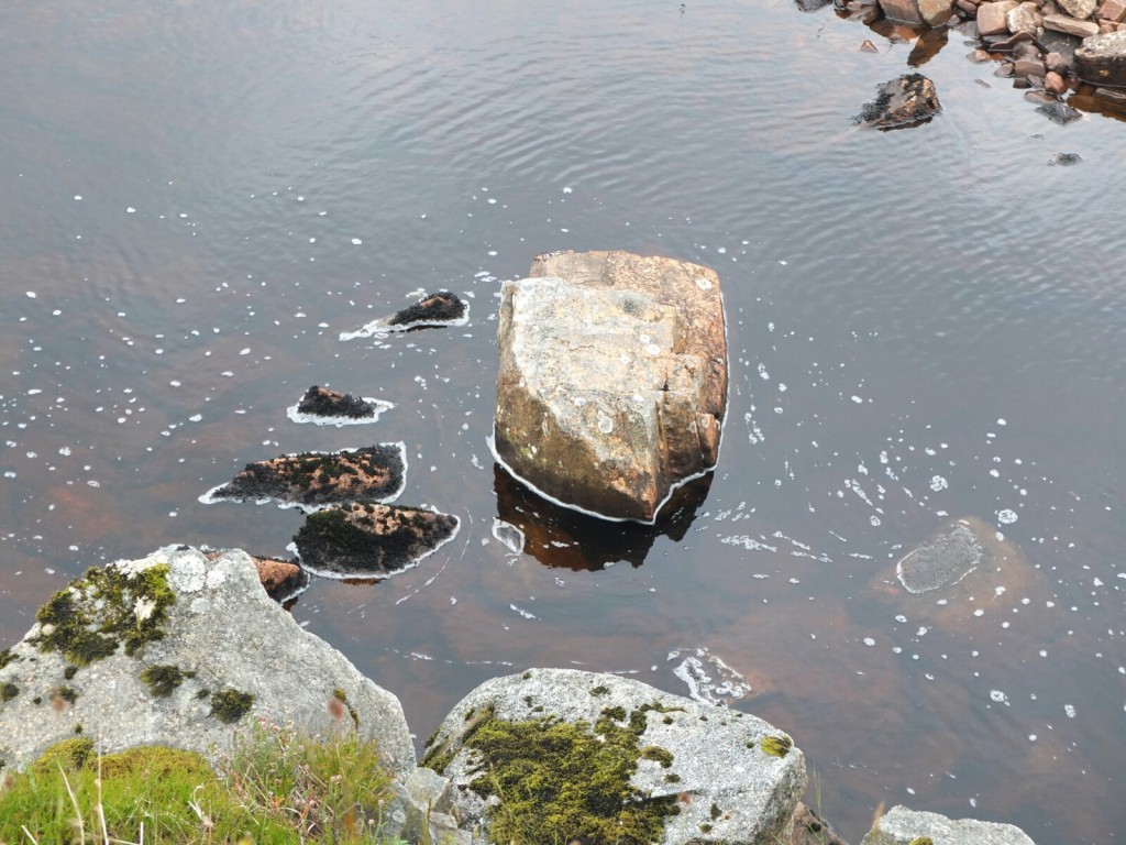
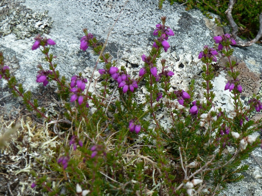
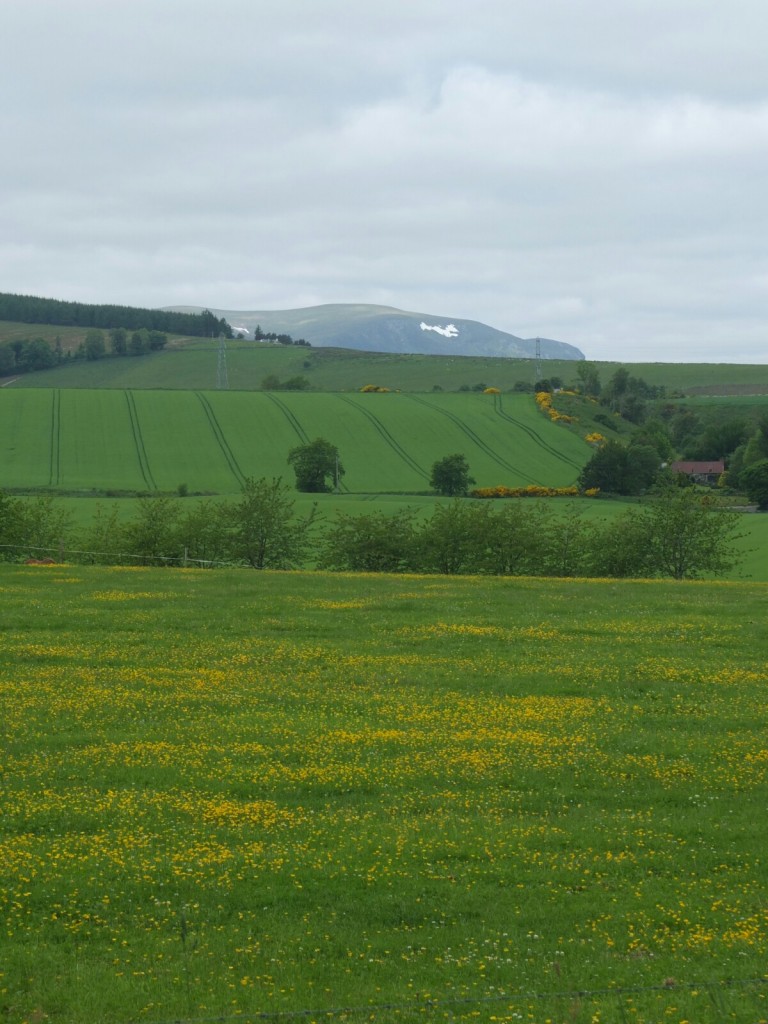
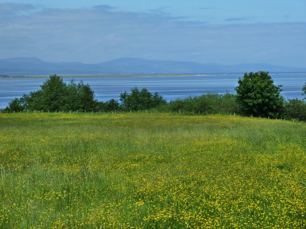
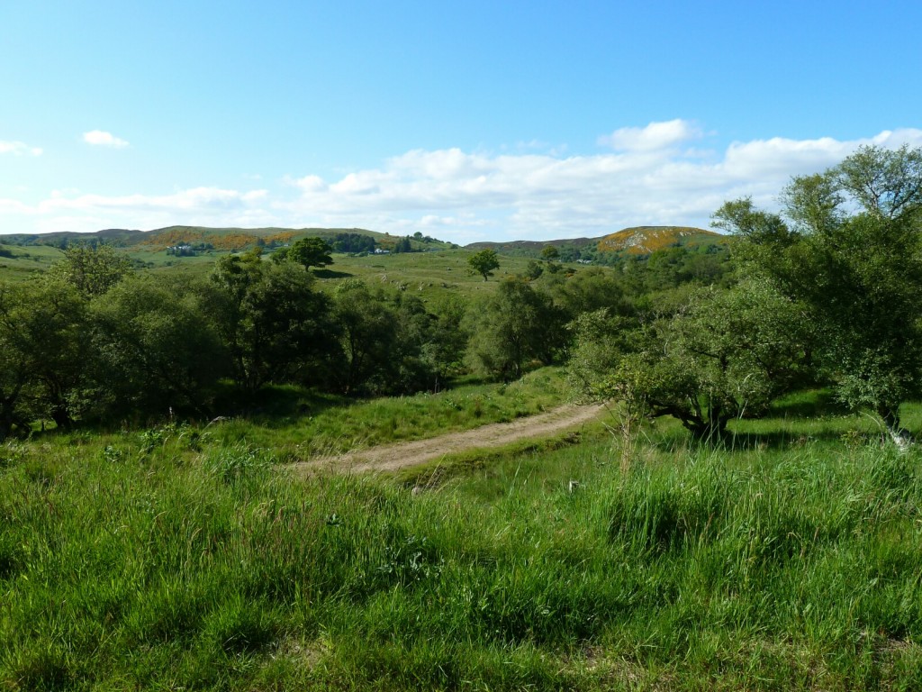
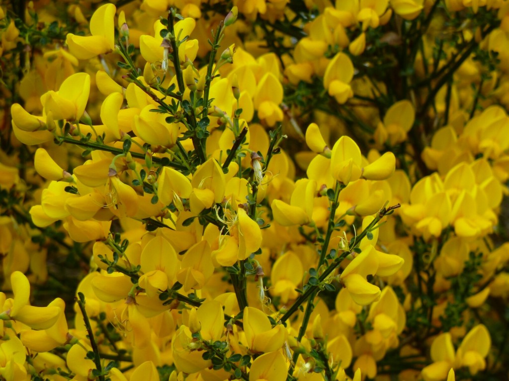
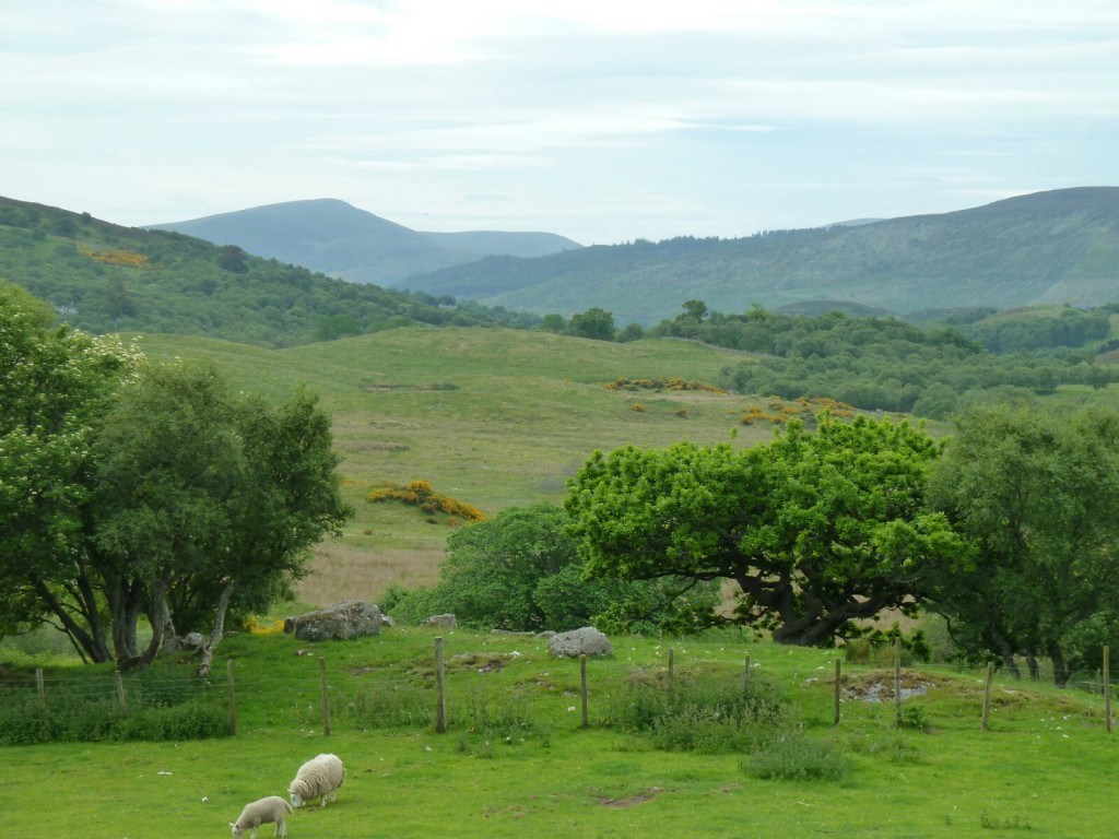
lovely colours of plants and sea
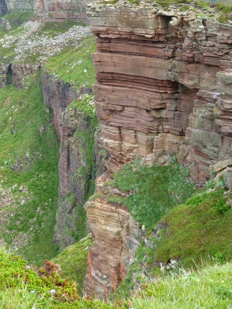
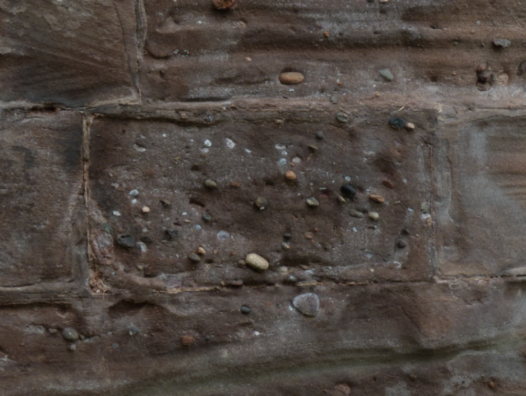
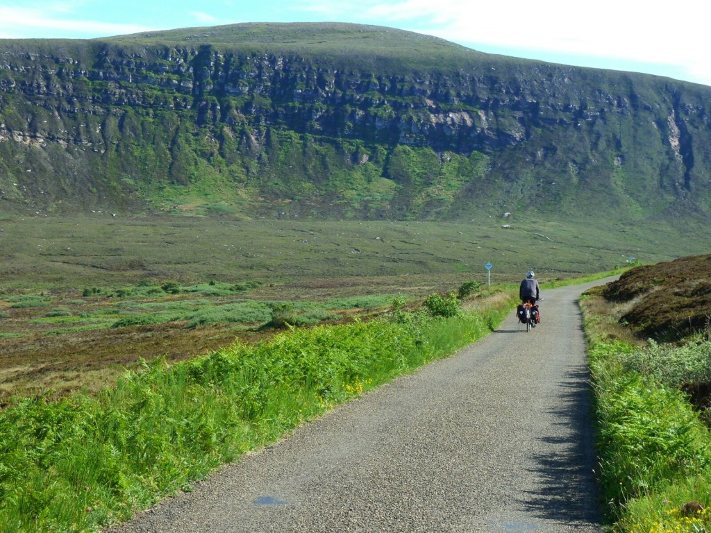
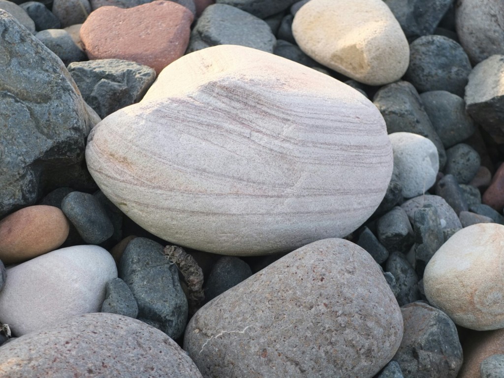
Sandstone cliffs
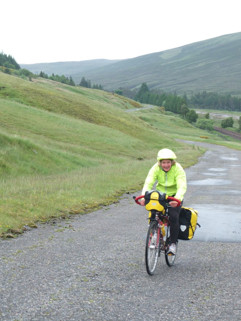
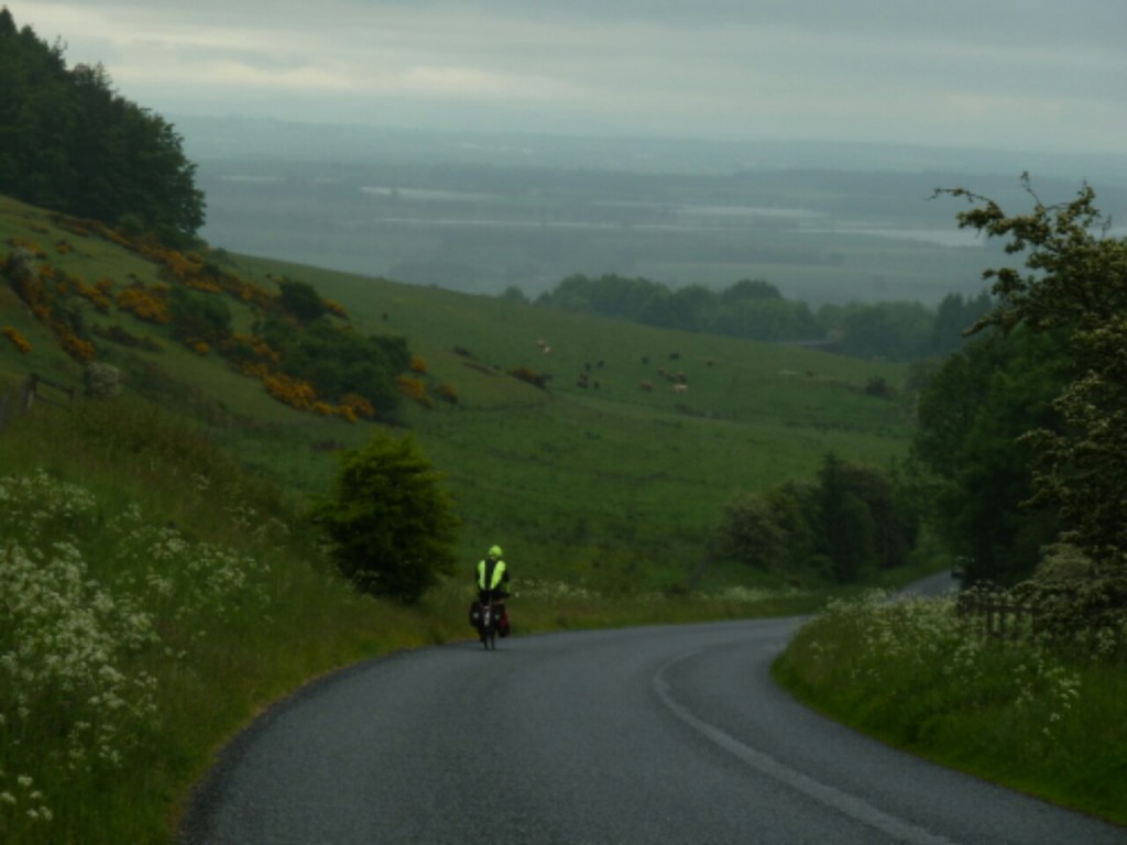
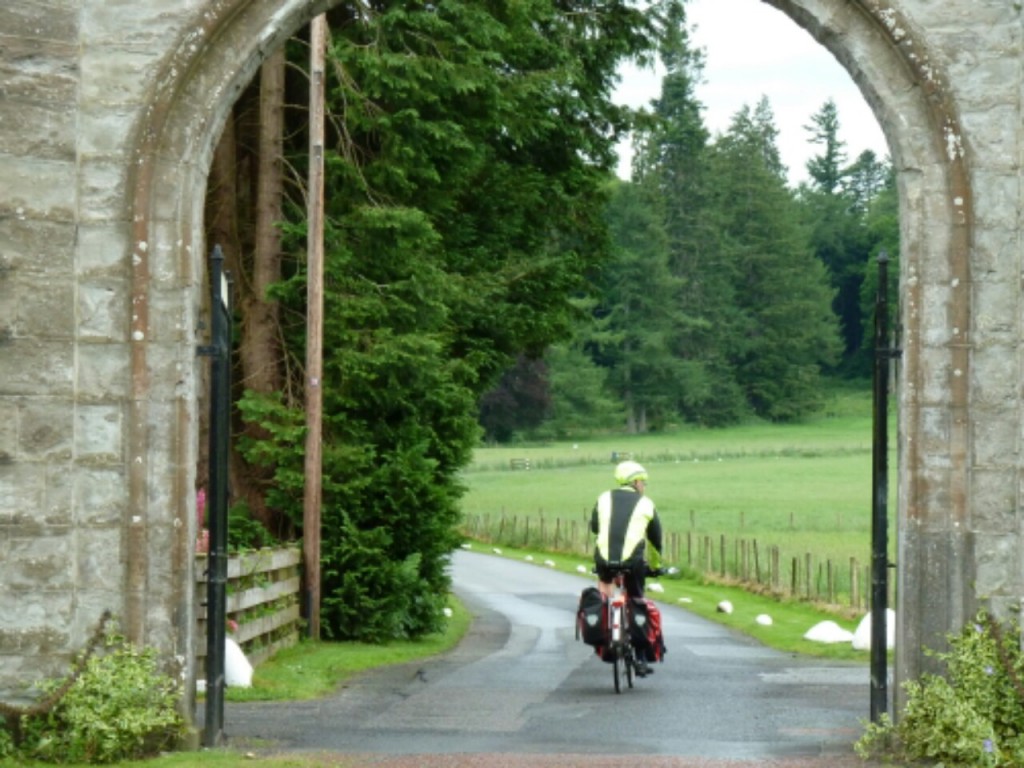
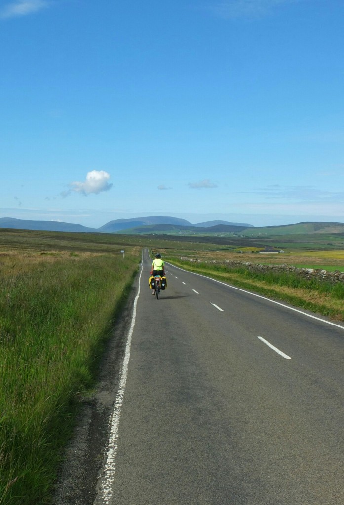
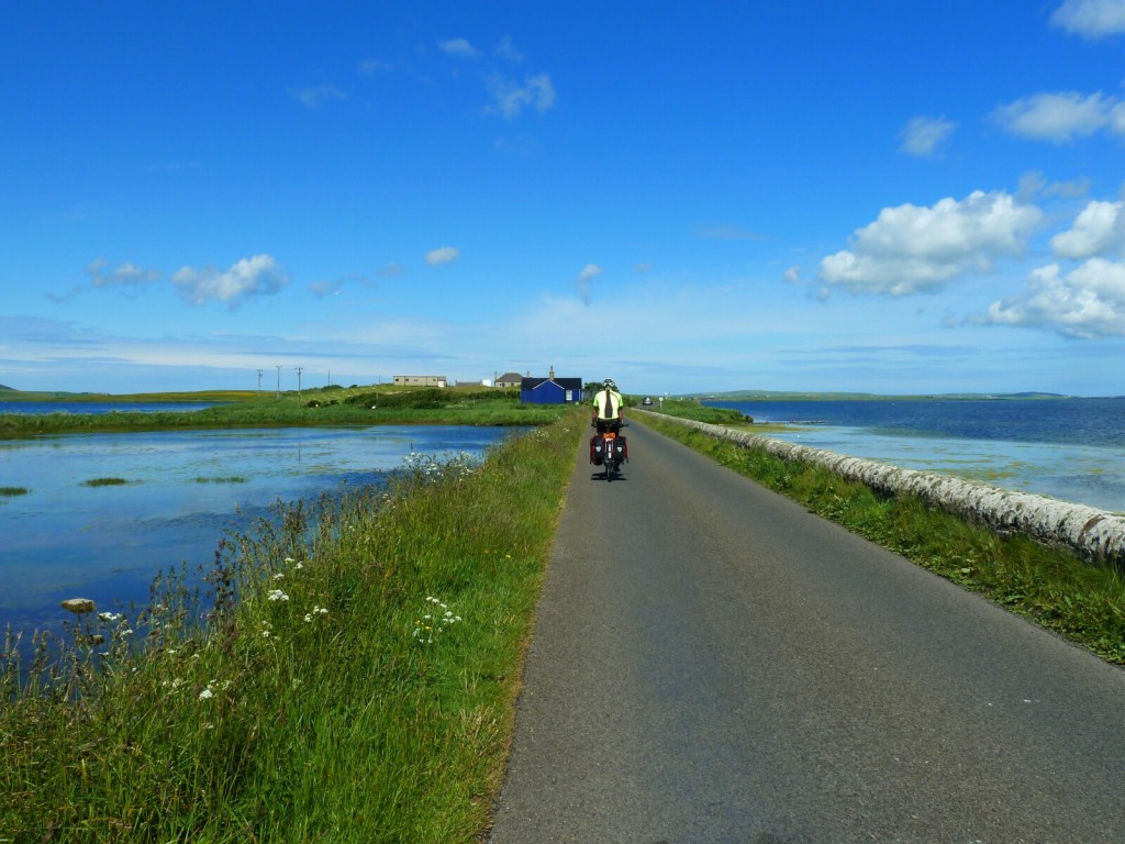
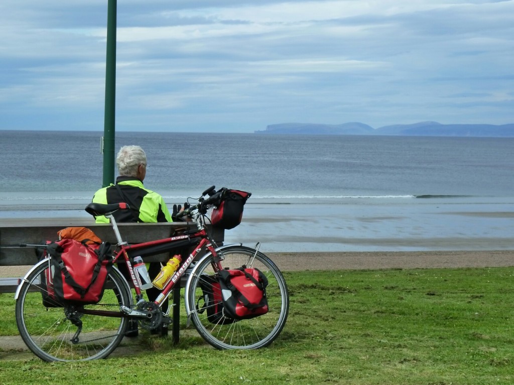
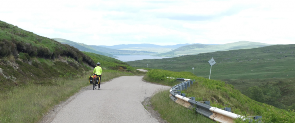
The walk back was followed by a brief cycle over the island,
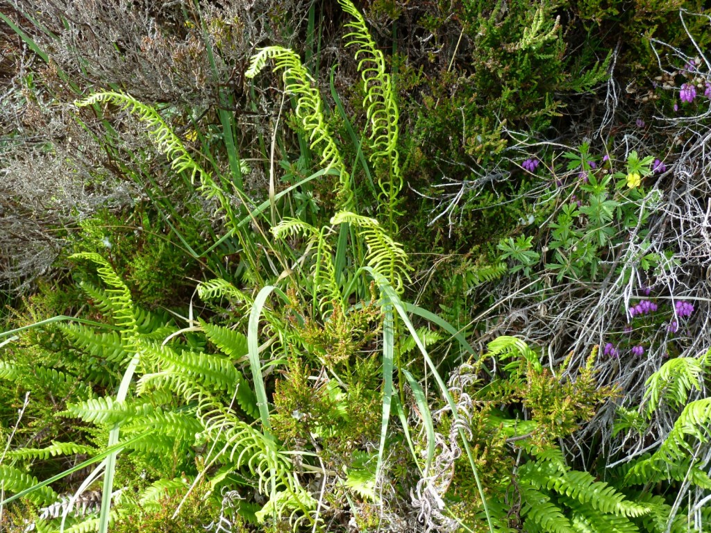
Ferns
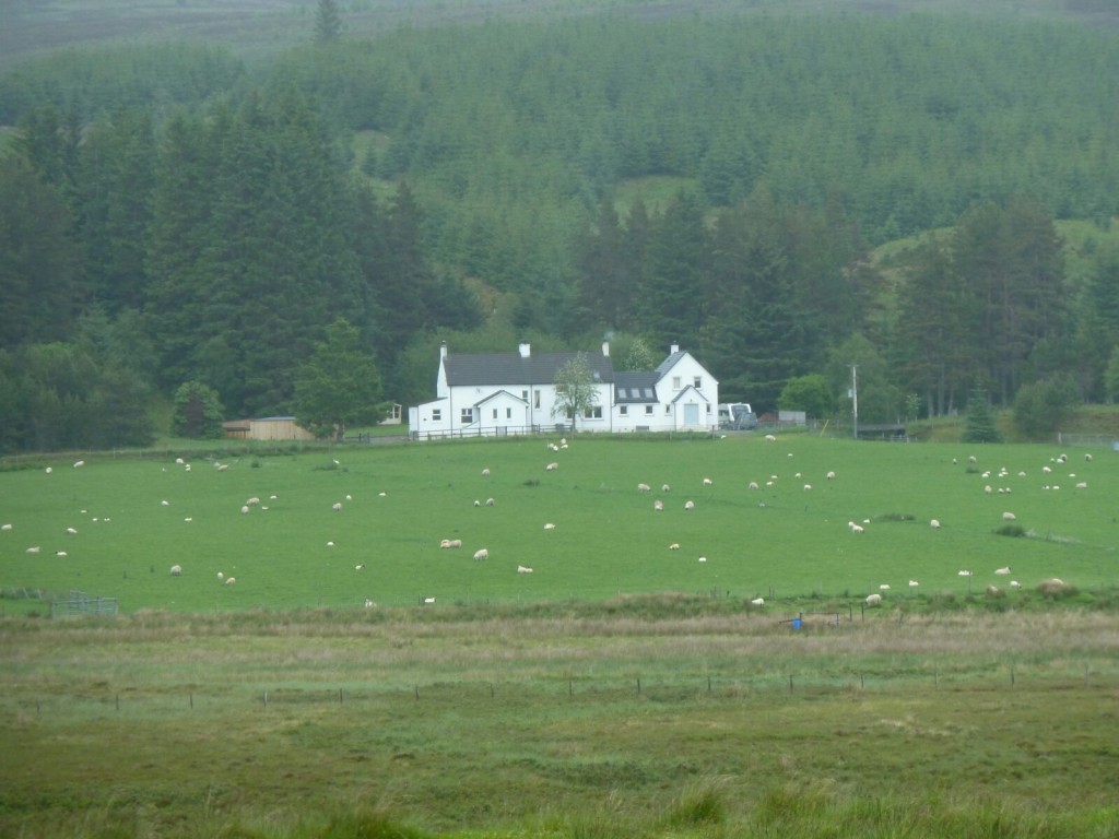
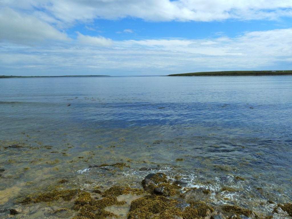
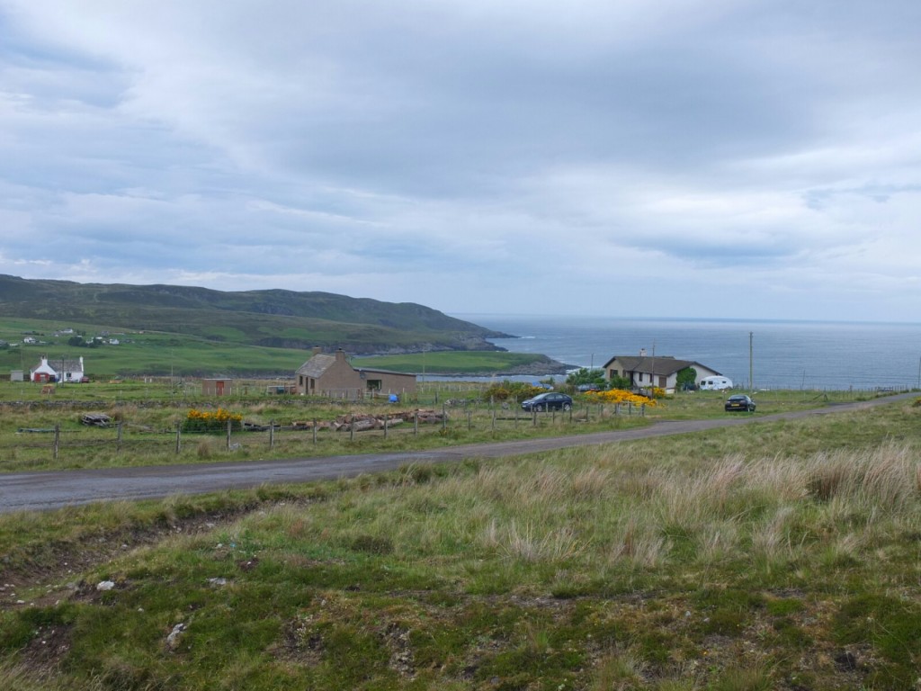
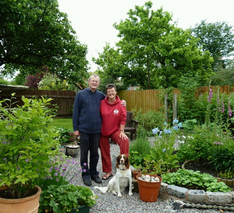
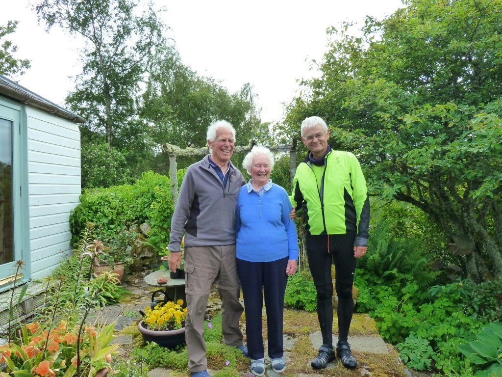
 we had time to call in and visit local author John Aberdein who we had met yesterday and had kindly invited us to call in for a cup of tea. We were worried about leaving soon enough to catch the ferry but he assured us that we would see it approaching as his house has a stunning view over the Hoy Sound. We had a fascinating wide reaching chat but alas had to cycle off to catch the boat, such an interesting encounter- among many other things John was the the first person to kayak around the North coast of Scotland way back in 1970s and was very understanding of the issues of a long trip , ours however is much less adventurous than his.
We are back on mainland Orkney tonight with a signal, still trying to come to turns with yesterdays outcome, we fear that many of the consequences cannot be predicted .
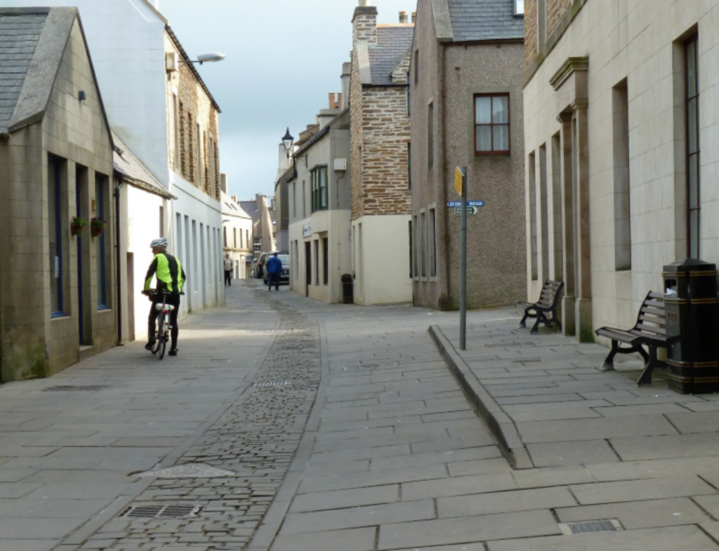
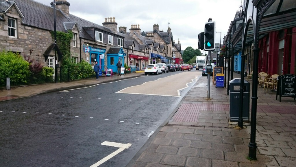
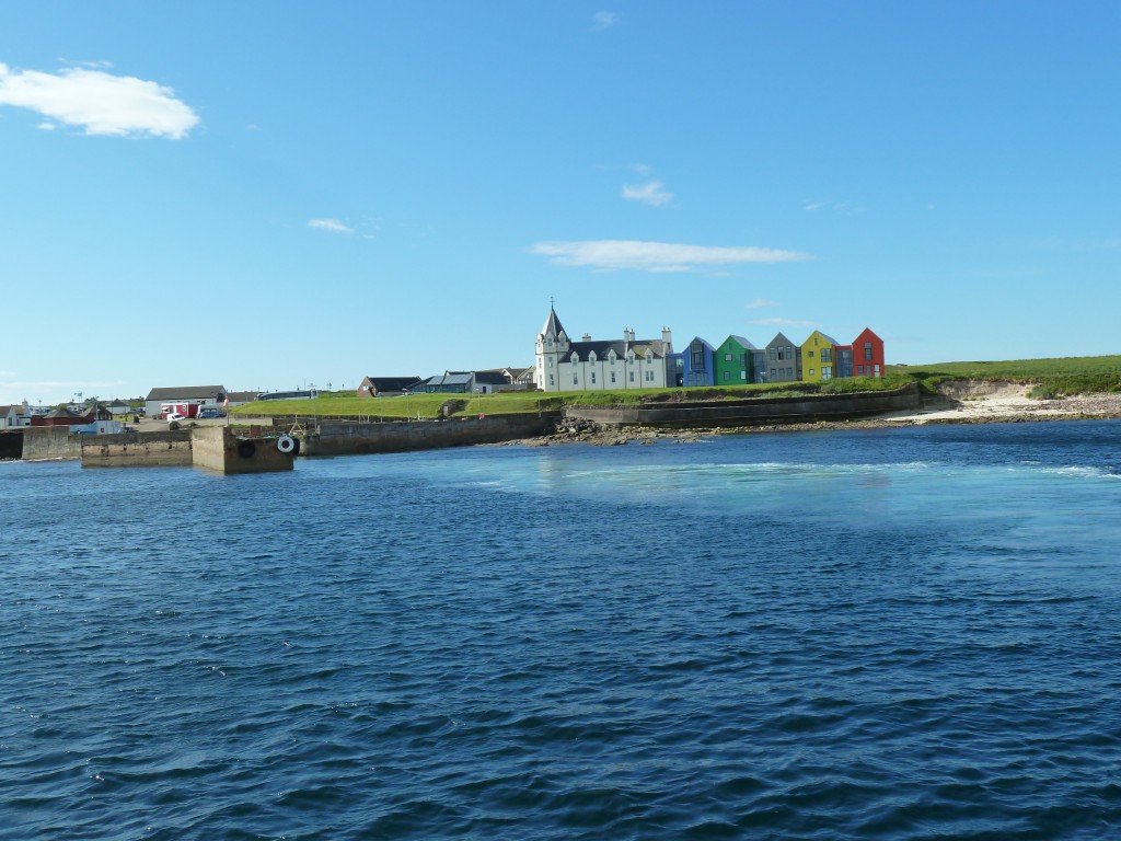
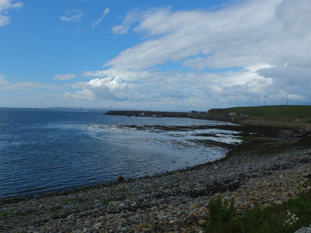
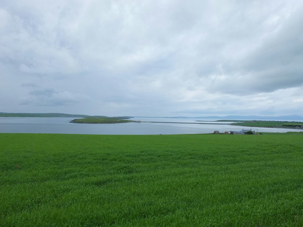
Stromness
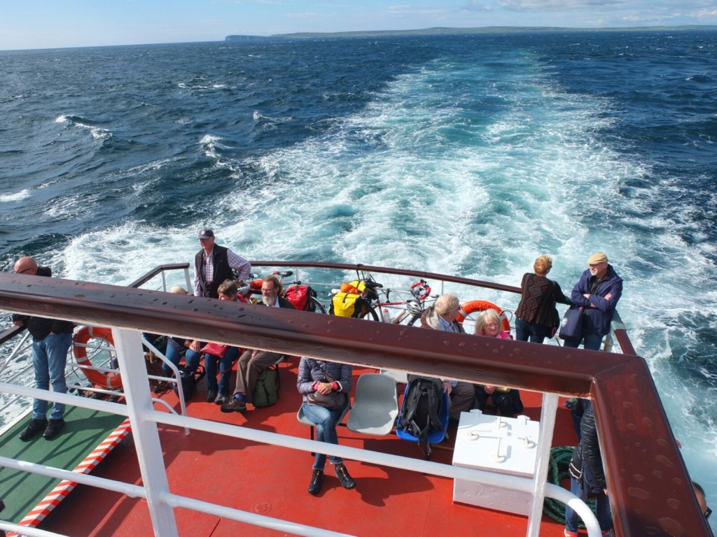
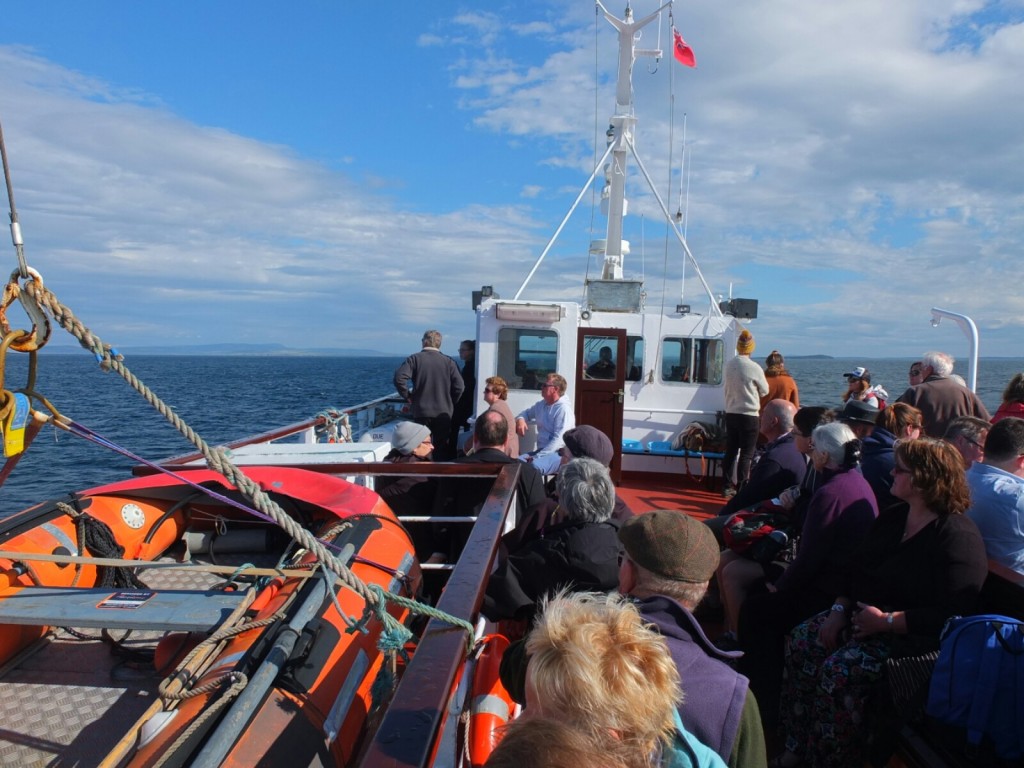
 We then set off for Stromness to catch the small ferry over to Hoy , a small island to the West of Orkney where we plan to camp and walk to see the Old Man of Hoy. The ferry trip was beautiful and enlivened by meeting John Aberdein a hugely interesting local writer, teacher and politician.
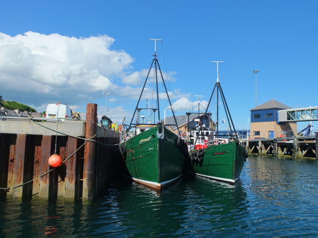
 No signal tonight so we will post tomorrow, but more importantly we wont know the result of the momentous referendum until back on the mainland Orkney tomorrow
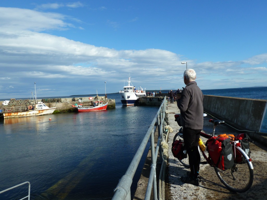
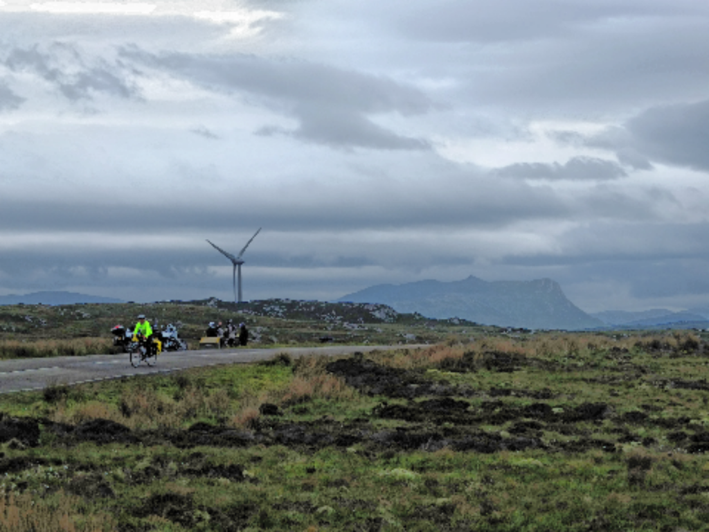
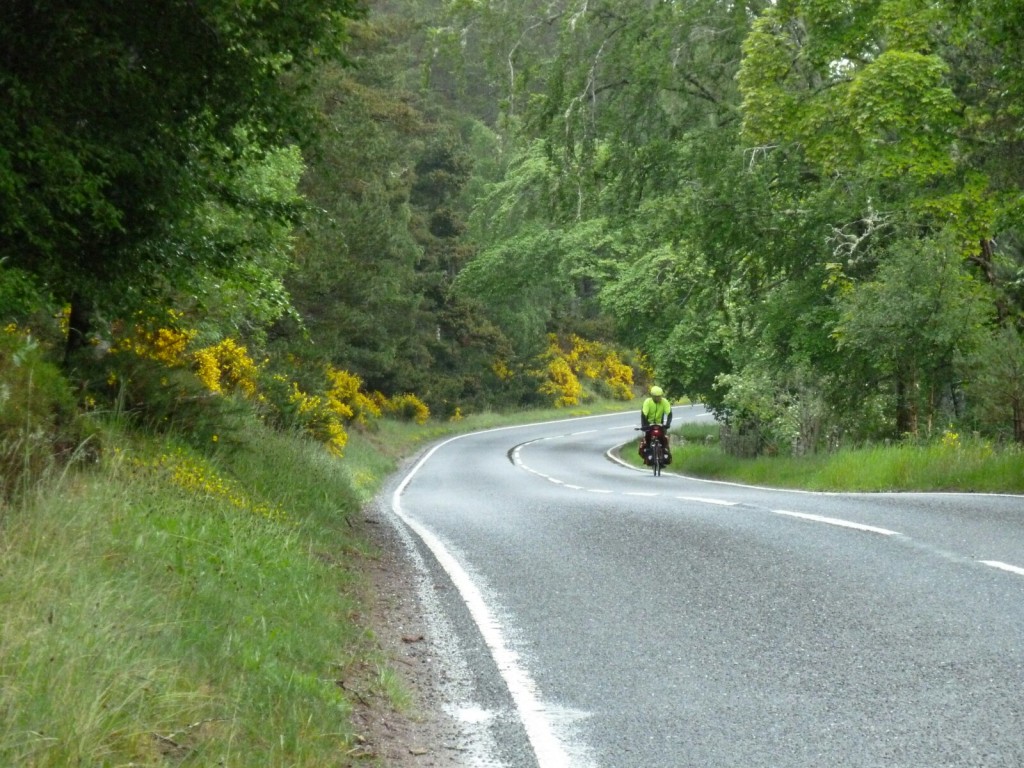
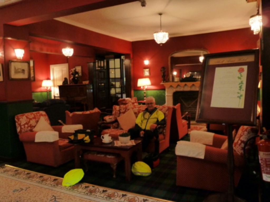
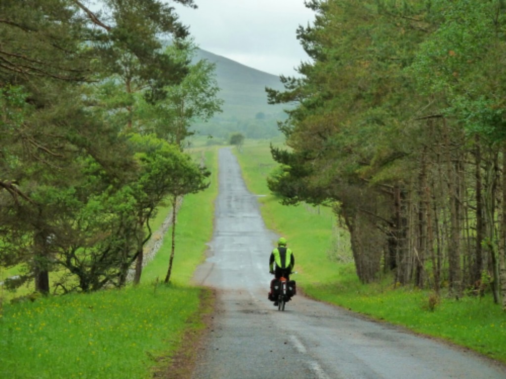
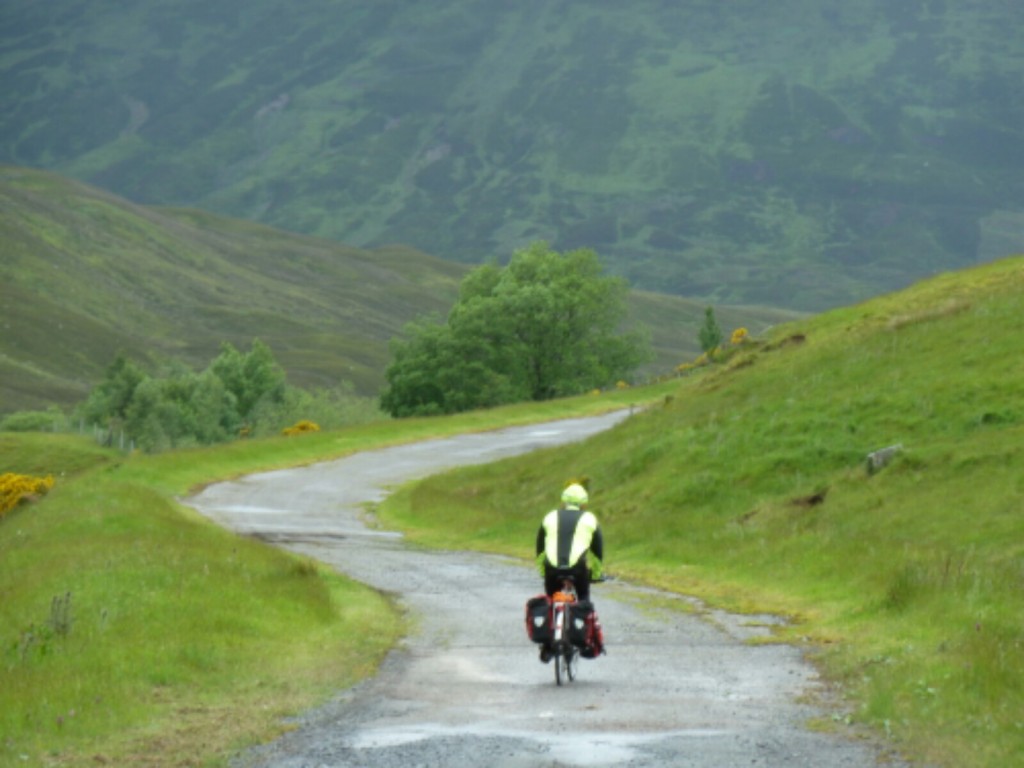
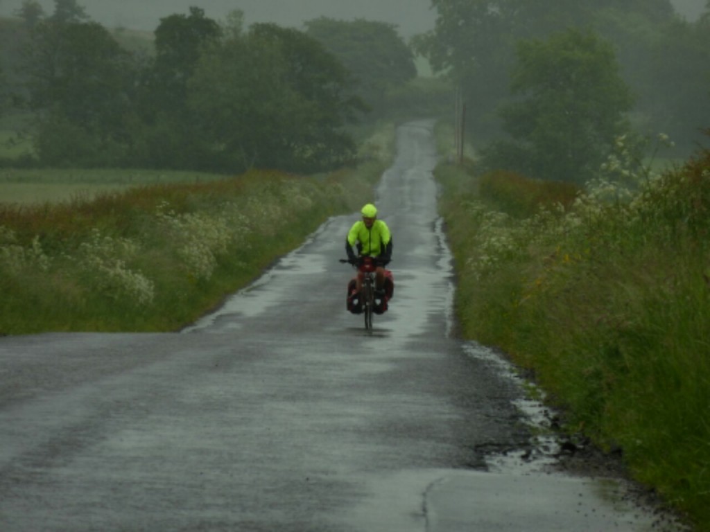
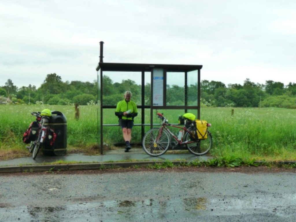
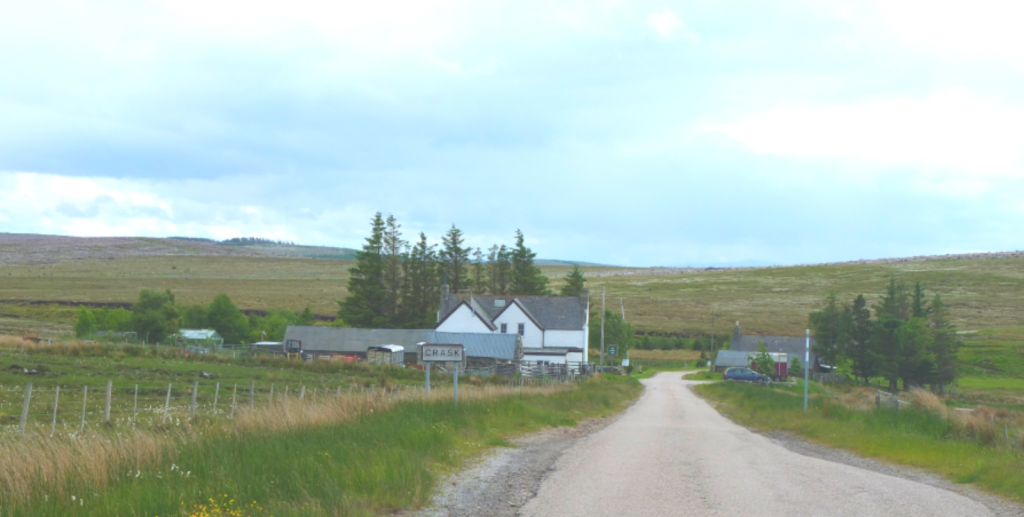
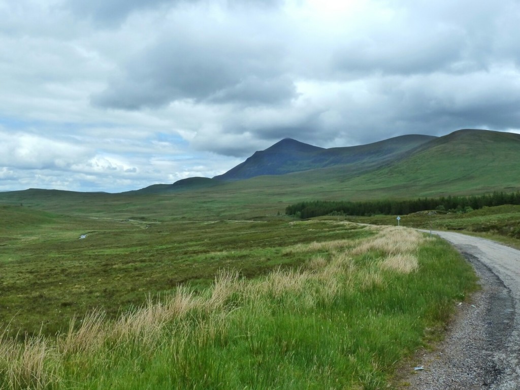
 We gritted out teeth and the 5 hills slowly passed. We stopped for a late coffee at a traditional scottish bar complete with a multitude of single malts, resident drinkers but a very warm welcome and a fine piece of chocolate cake for Martin, Gayle watched enviously as she ate her disapointingly small piece of blackberry pie. We met some friendly cycle tourers from Manchester doing the NC500- a circuit of Northern Scotland being promoted for cyclists but also motorbikes and cars- they had had some trouble with unthinking motorists on the single track roads.
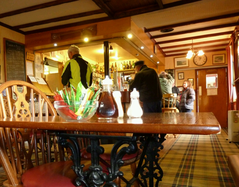

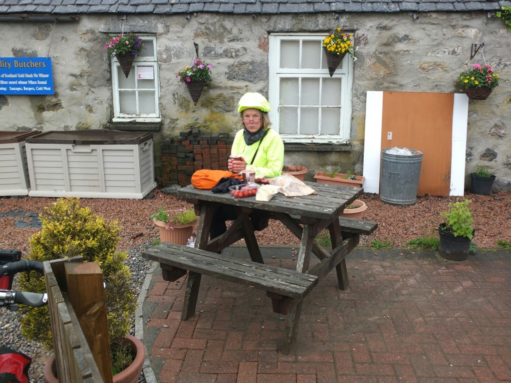
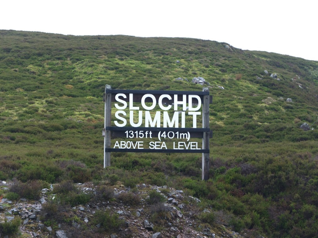 Going down the other side was cold but quick and we promised ourselves a coffee at the advertised “ country store “ at Tomatin- sounded hopeful. In fact Tomatin has a handful of houses and the country store is a tiny village shop- but it did have a coffee machine although nowhere to sit. we sat outside on a bench drinking hot chocolate and eating our sandwich in the dreich – it was good to get moving again.